
Postal districts
By clicking on the 
The density of the visible postal districts is affected by the zoom level. The more you zoom in, the more information the map gives.
The visualization follows the rules below:
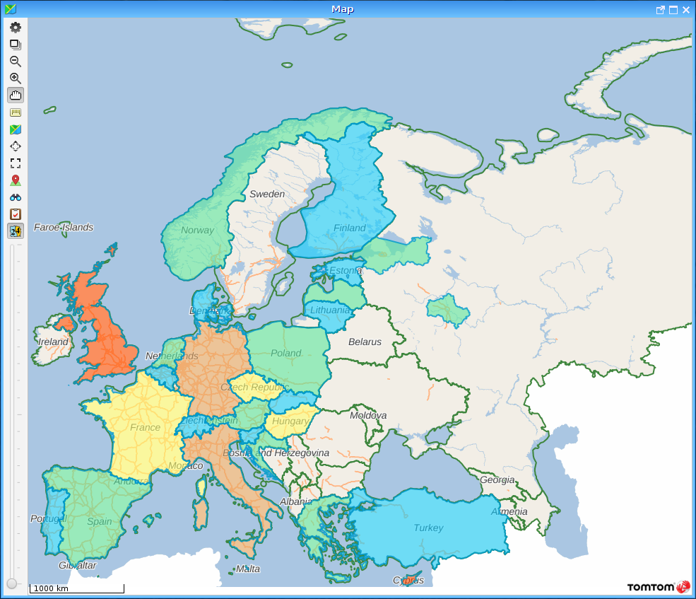
At low zoom level (e.g. whole Europe is visible), adjacent countries get different colours, thus it is easier to distinguish
By zooming in, you will see a lot more information. Firstly, the postal districts will be visible (in most countries with numbers from 0 to 9), which divide the countries into smaller pieces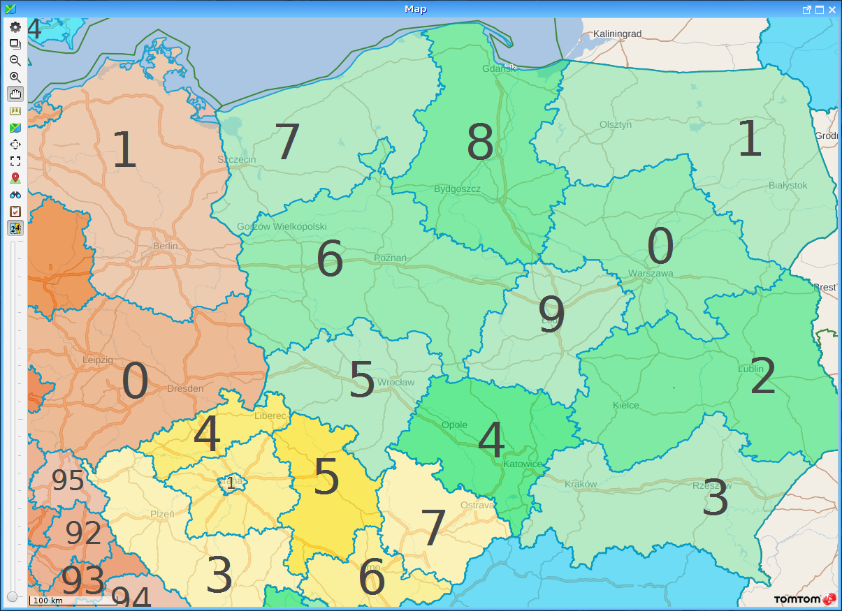
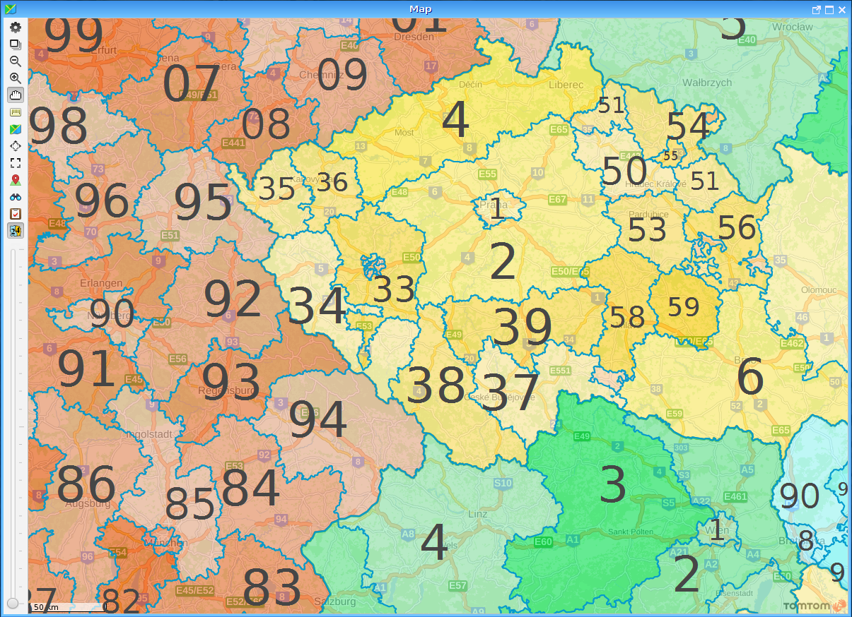
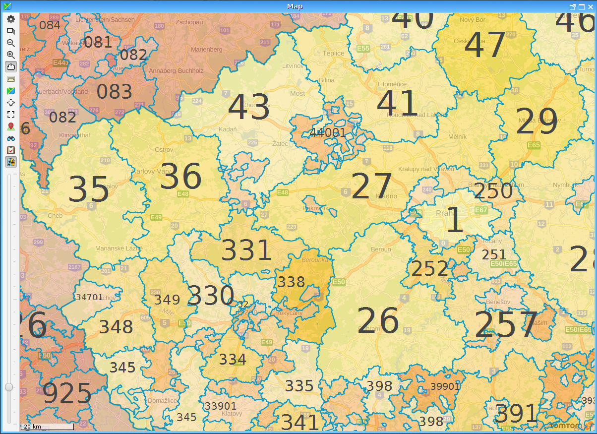
This method countinues with two, three and four digit numbers (in some countries with letters), until the most detailed postal district view.
(C) Copyright iData Kft., 2005-2022. All rights reserved.